Map Archive
Search This Blog
Saturday, October 23, 2010
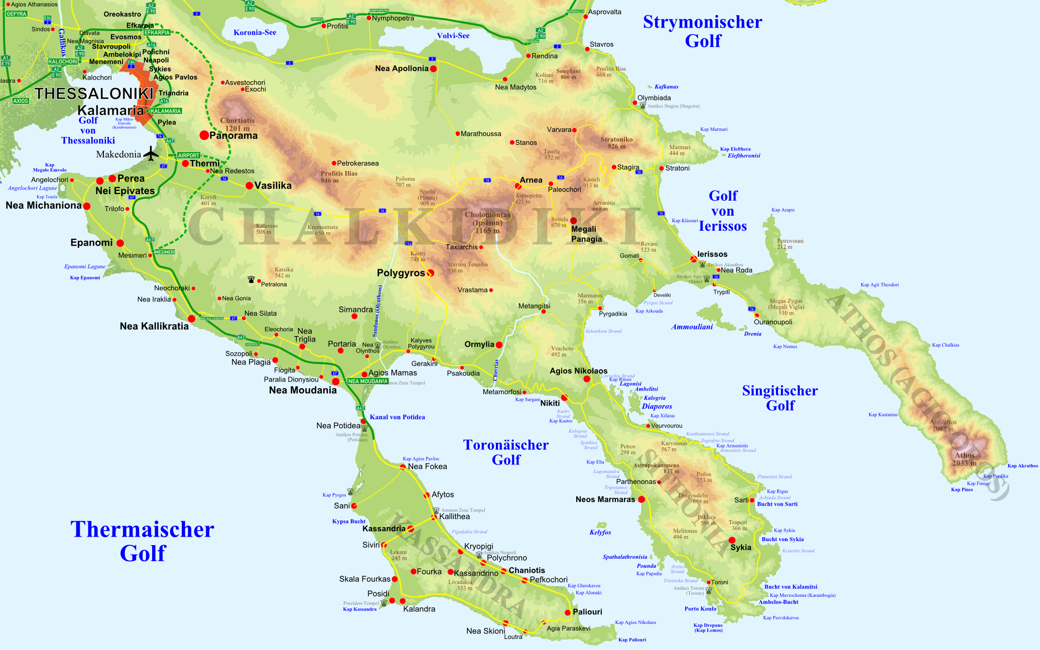
DEM
http://commons.wikimedia.org/wiki/File:Chalkidiki_-_DEM_Map_Topo_-_DE.png
A DEM is a digital representation of ground surface topogrophy and/or terrain. This DEM of Chalkidiki in Greece and is a popular tourist destination there because of its proximity to the gulf.
No comments:
Post a Comment
Newer Post
Older Post
Home
Subscribe to:
Post Comments (Atom)
No comments:
Post a Comment